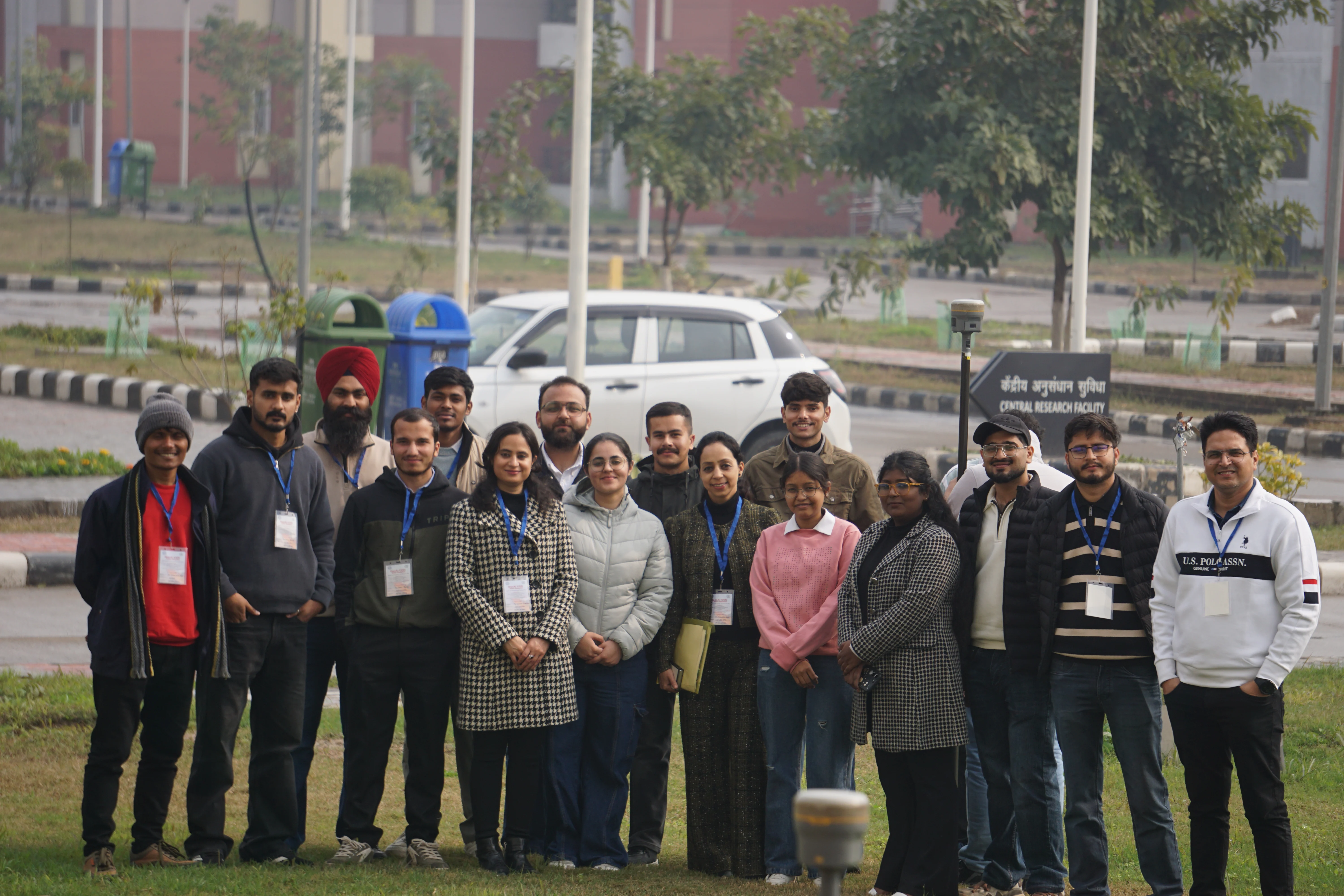
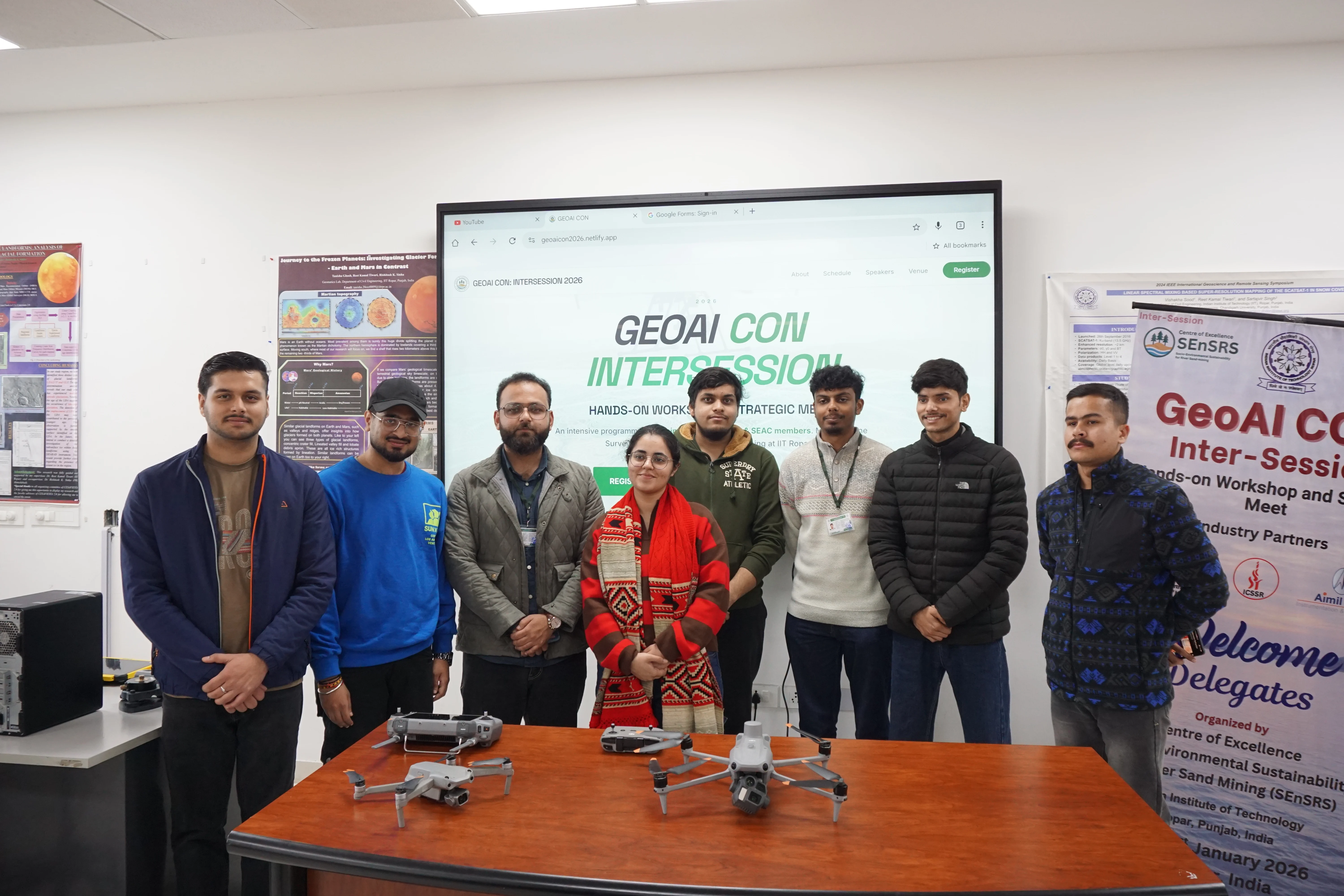
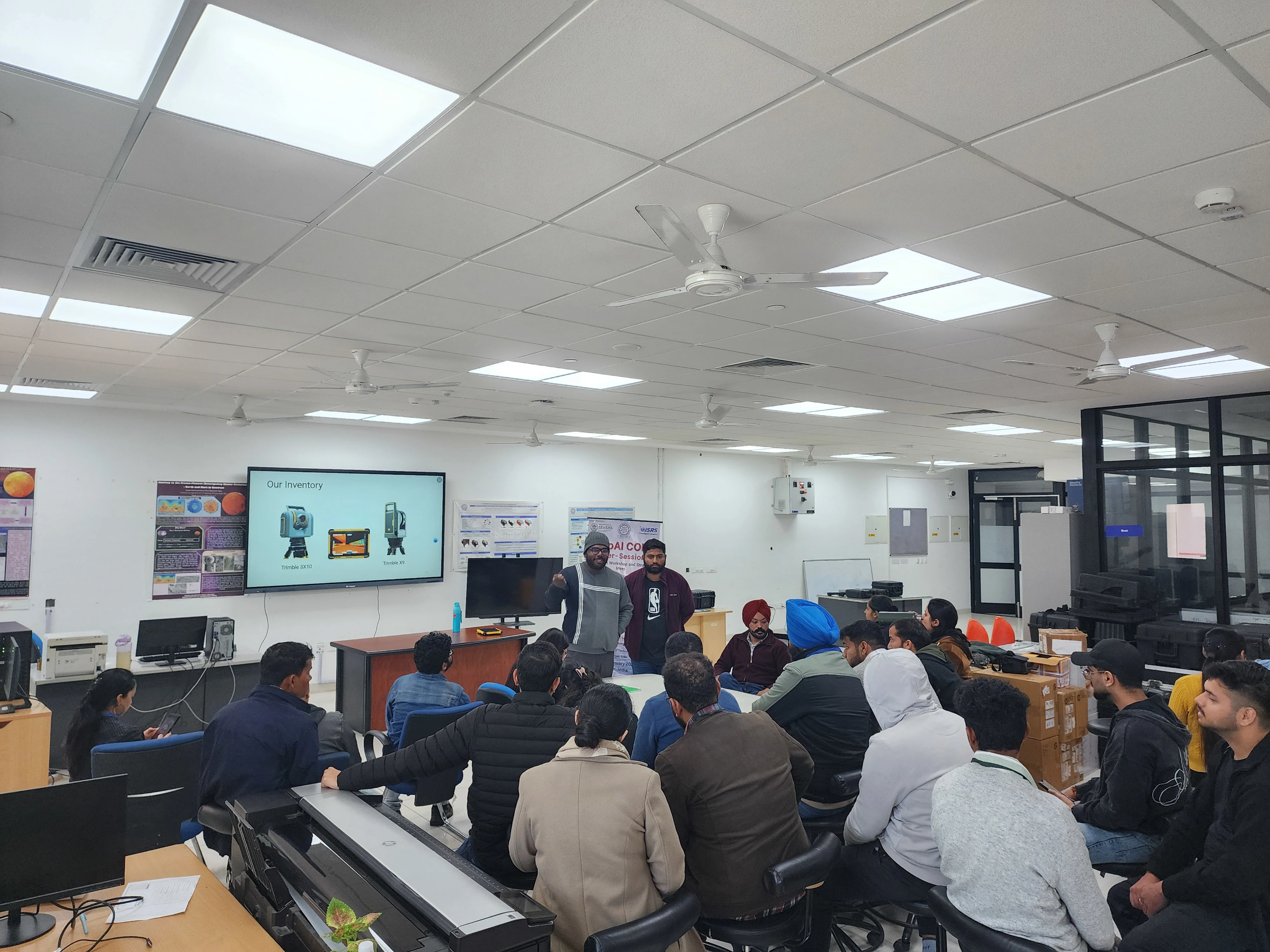
A comprehensive visual journey through our intensive intersession program, covering advanced geospatial surveying and mapping techniques.
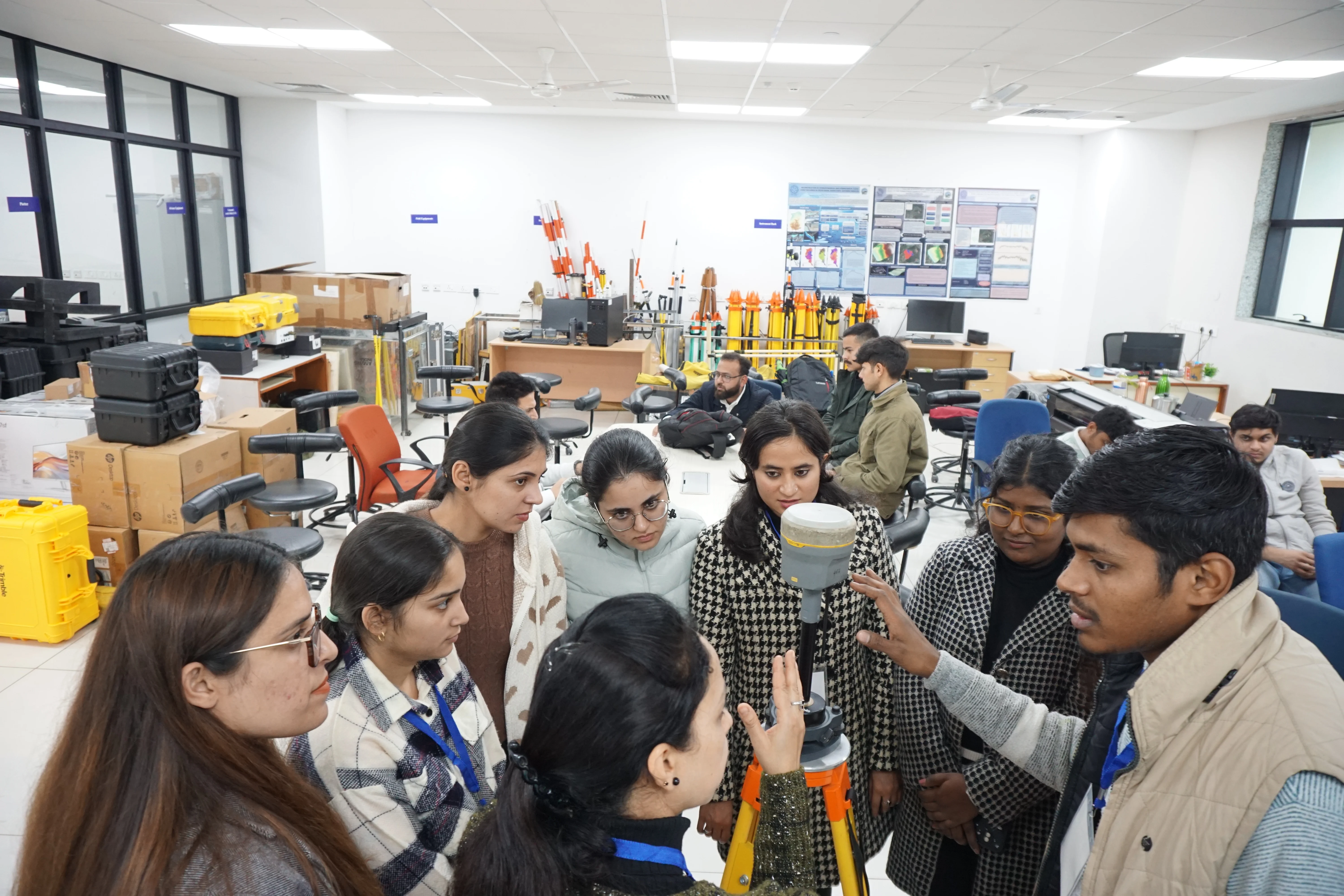
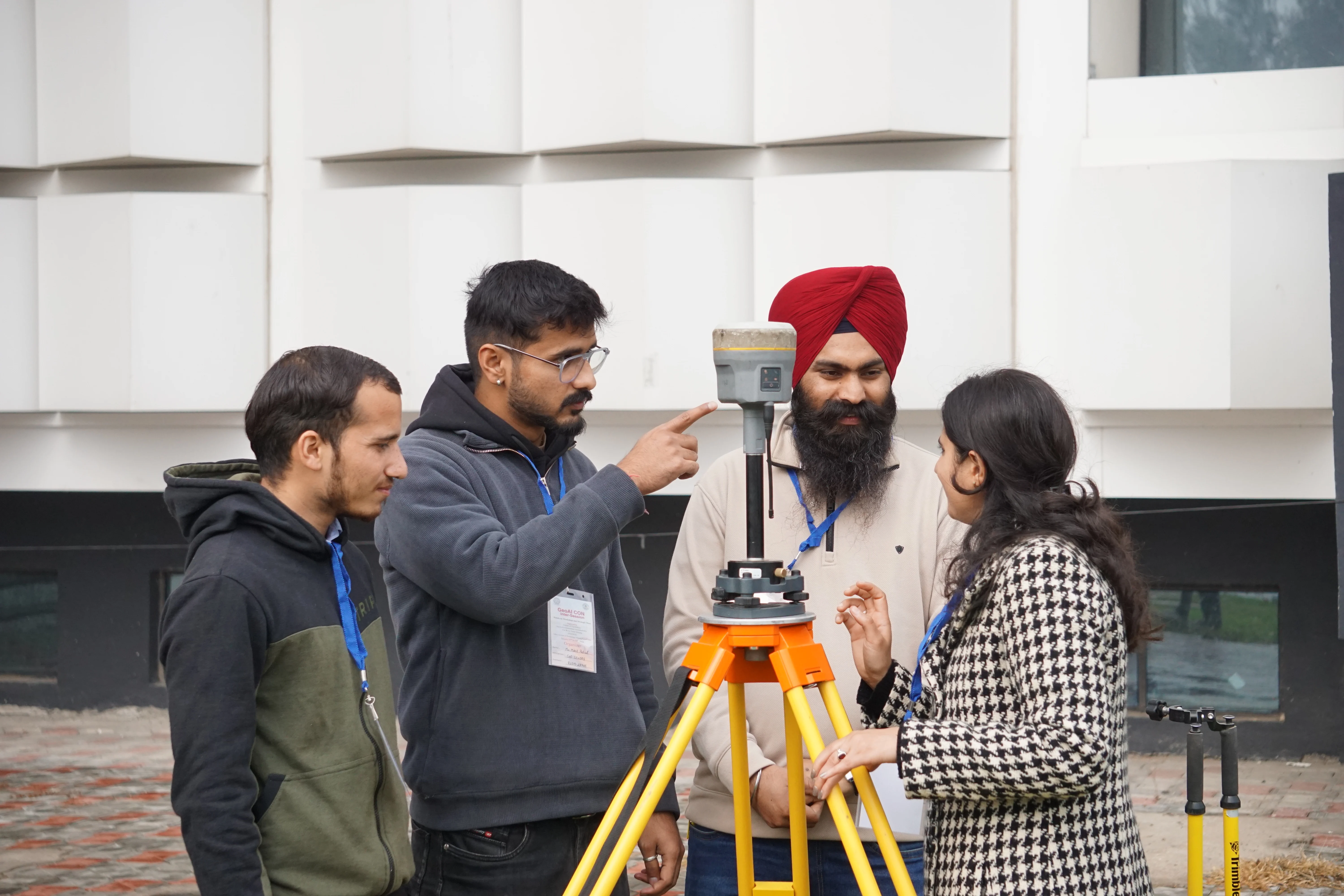
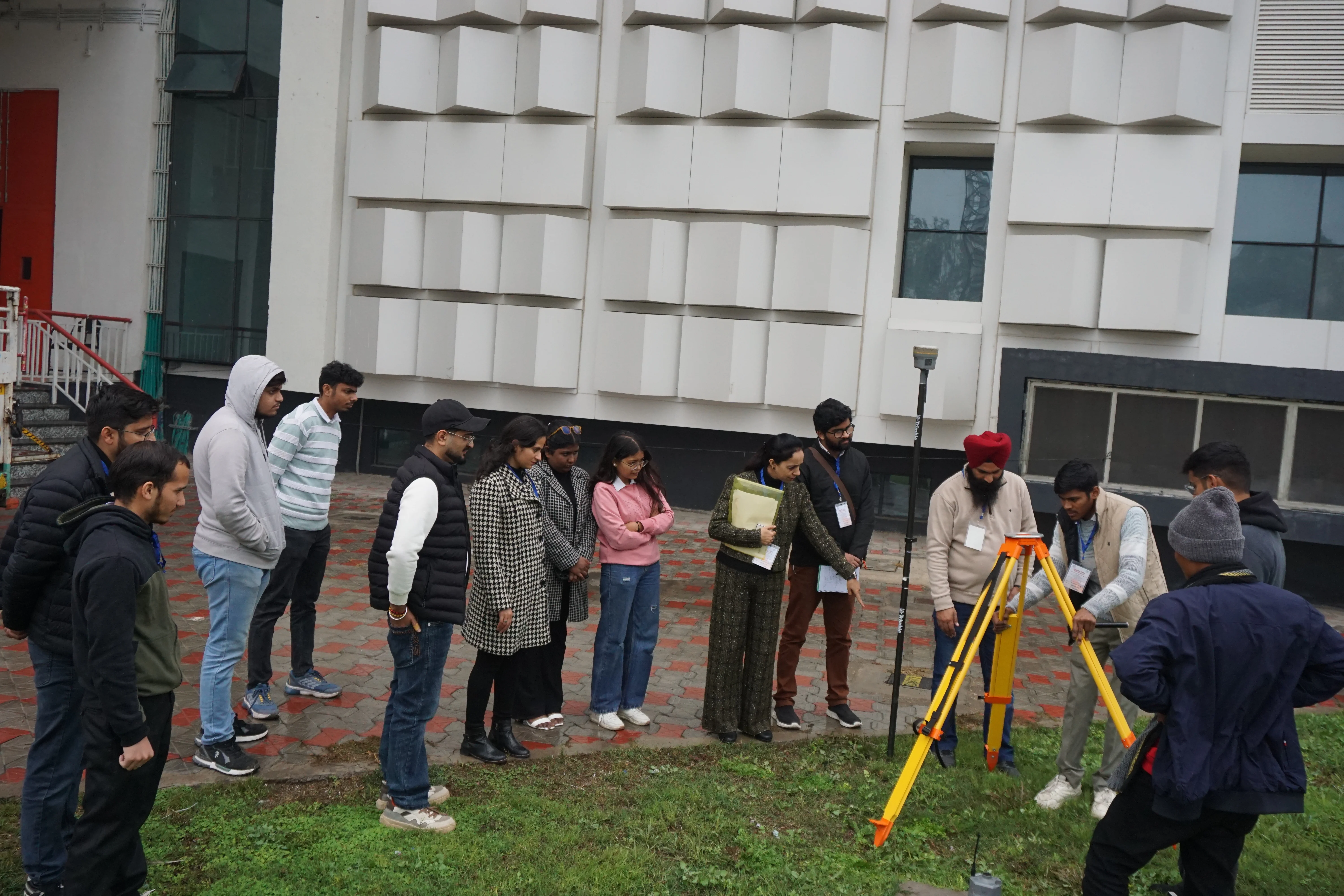
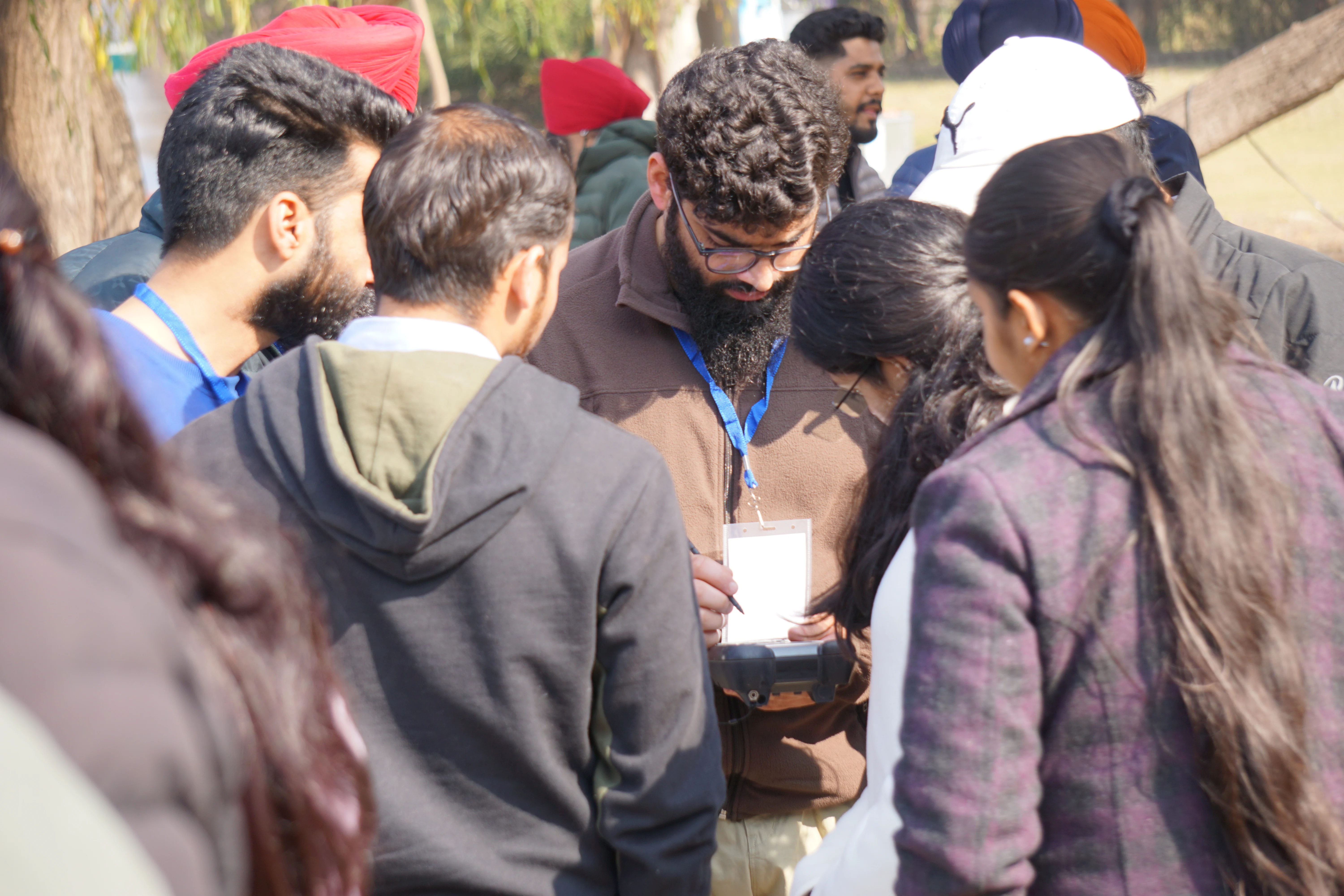
Hands-on training with Differential Global Positioning System for precision geospatial data collection.
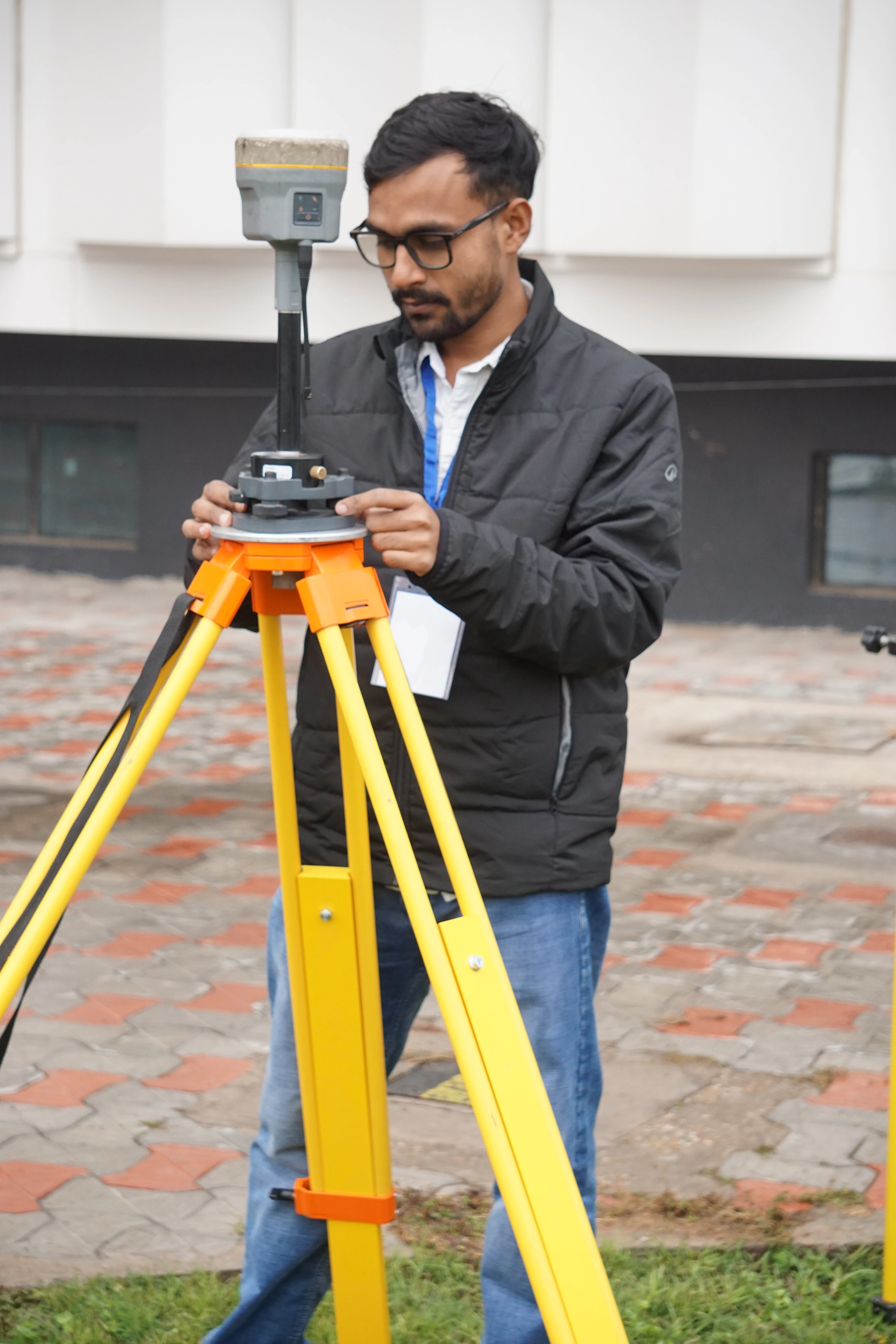
DGPS field setup & equipment briefing
Survey point collection in the field
Participants working with DGPS receivers
Precision coordinates calibration
Practical demonstration session
Group activity during survey
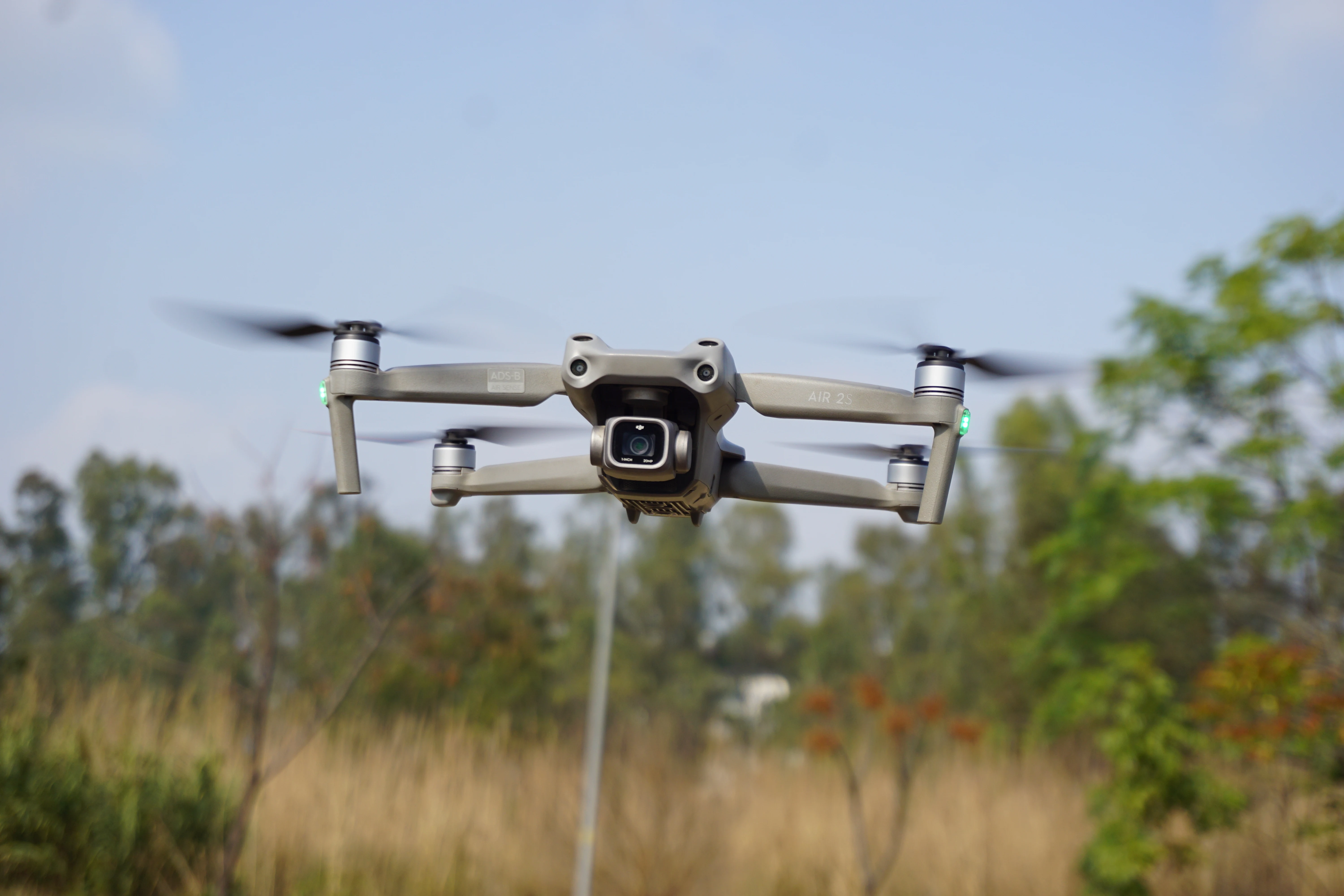
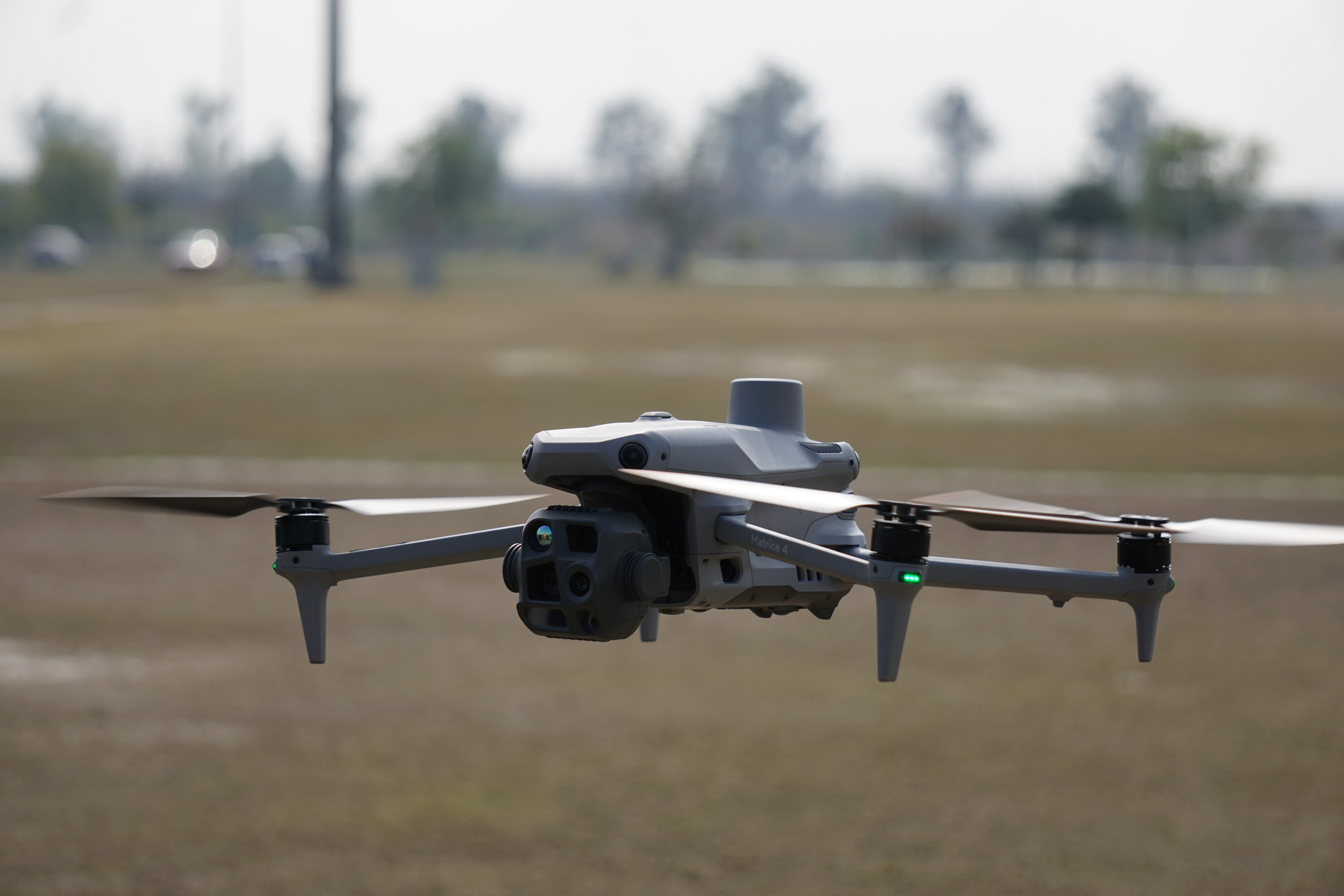
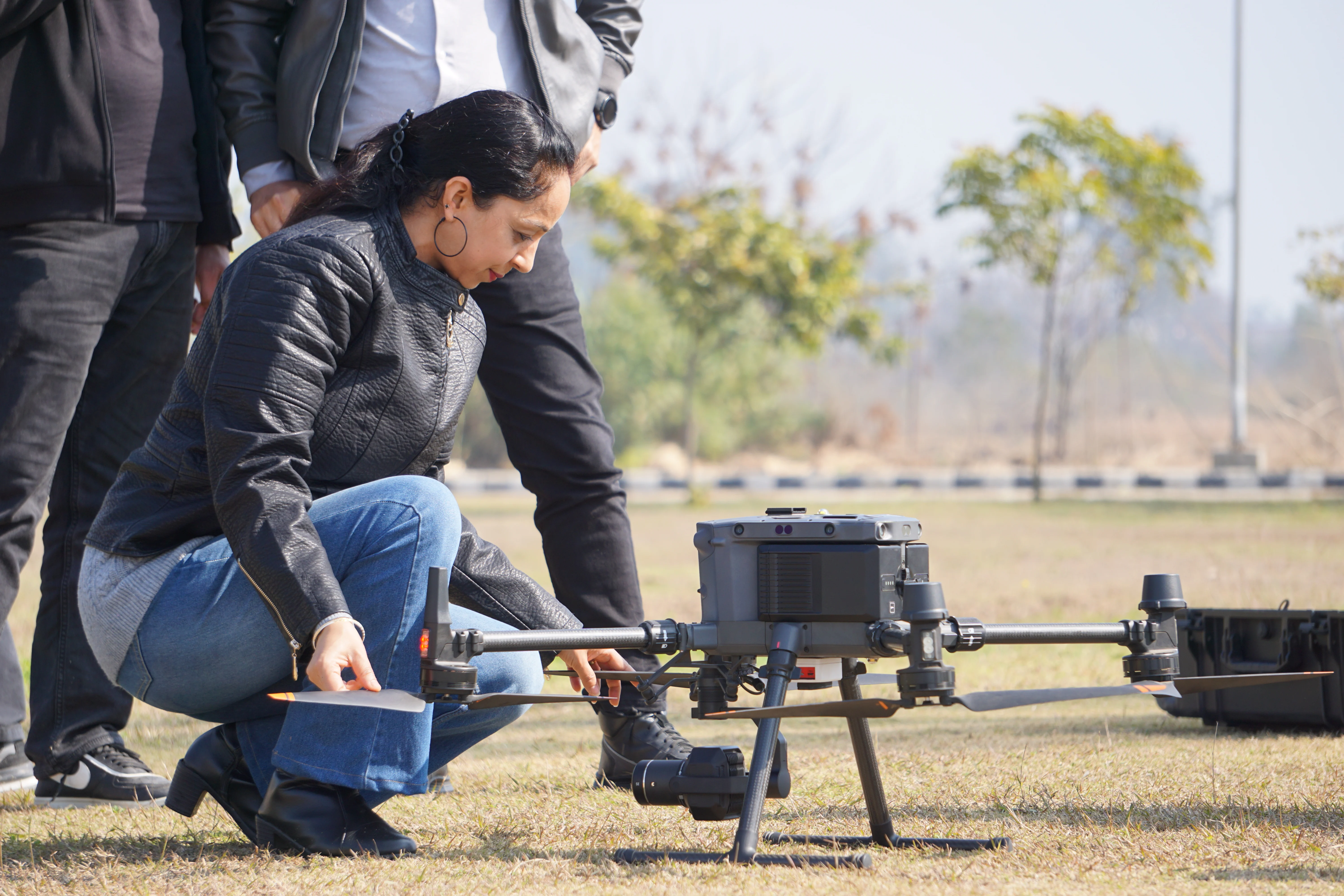
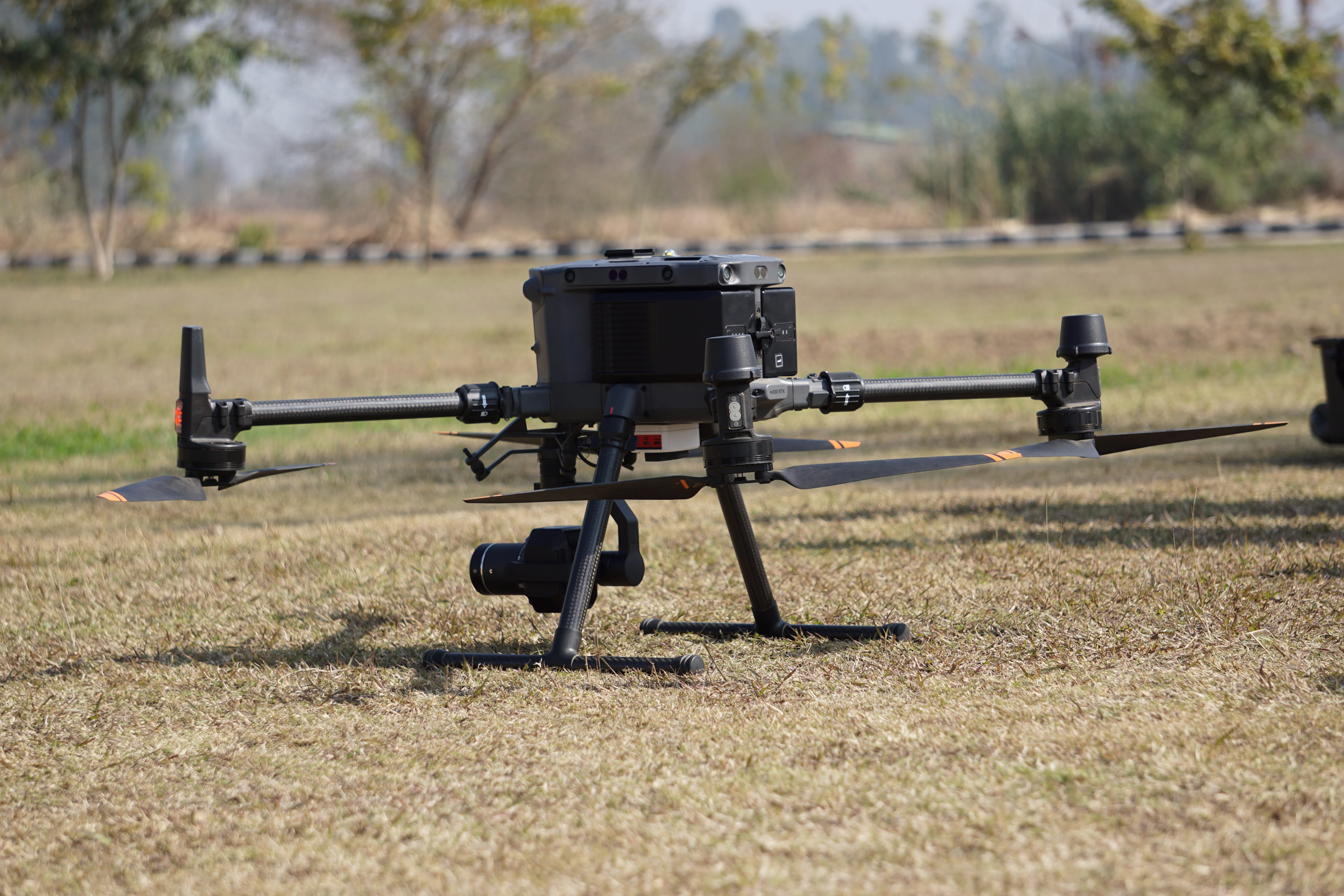
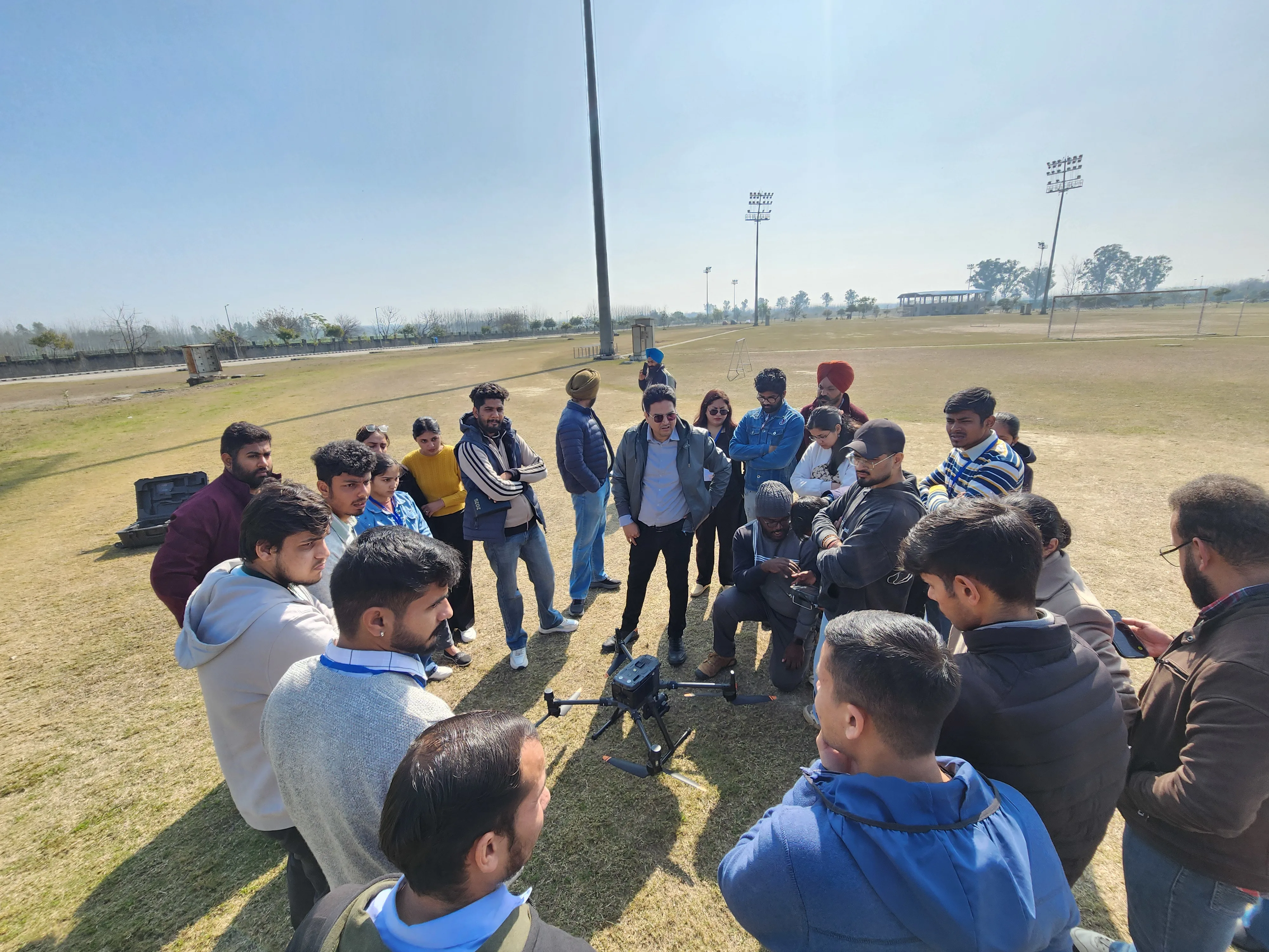
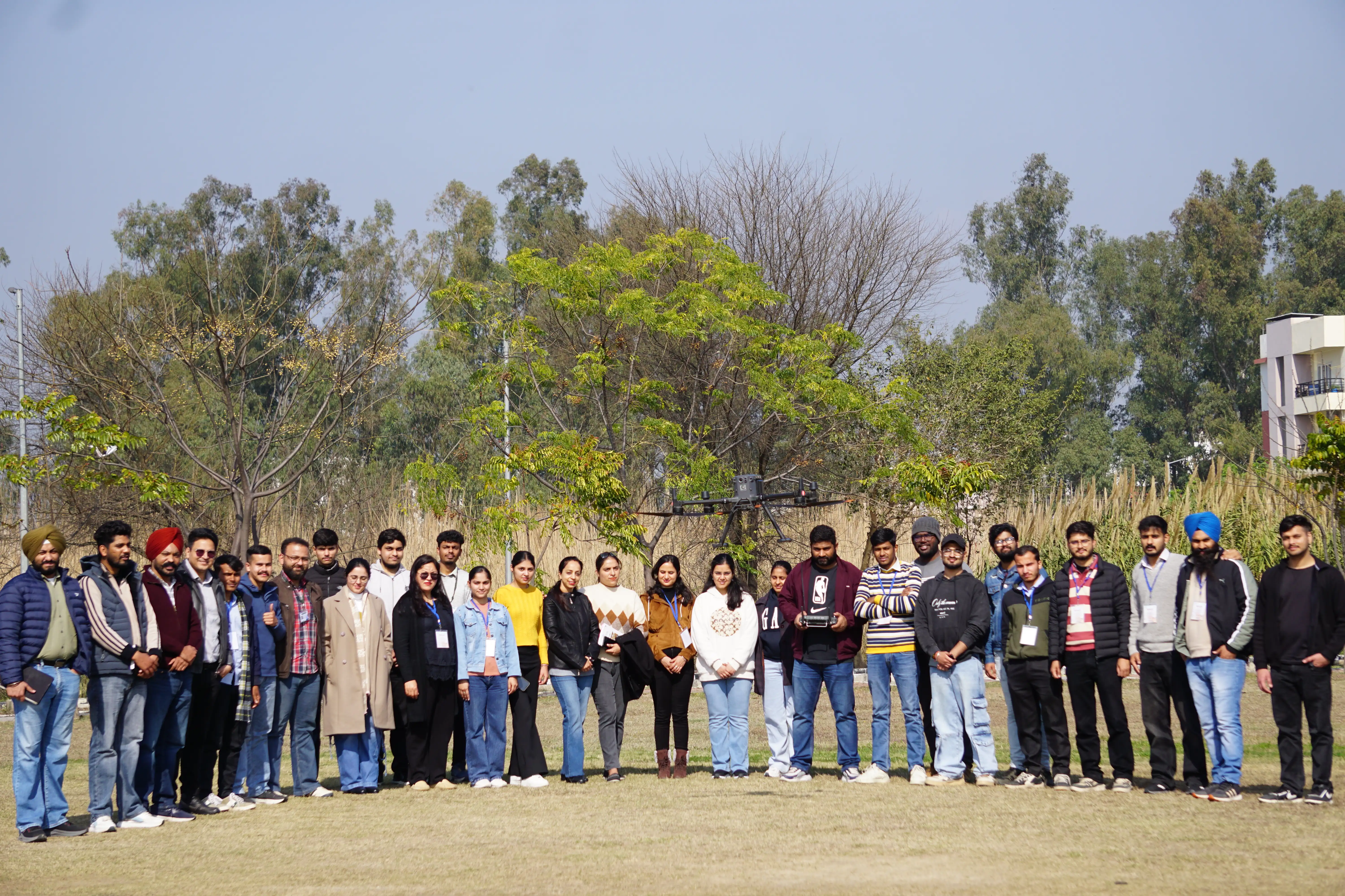
Exploring UAV-based aerial surveying techniques for high-resolution terrain mapping and orthophoto generation.
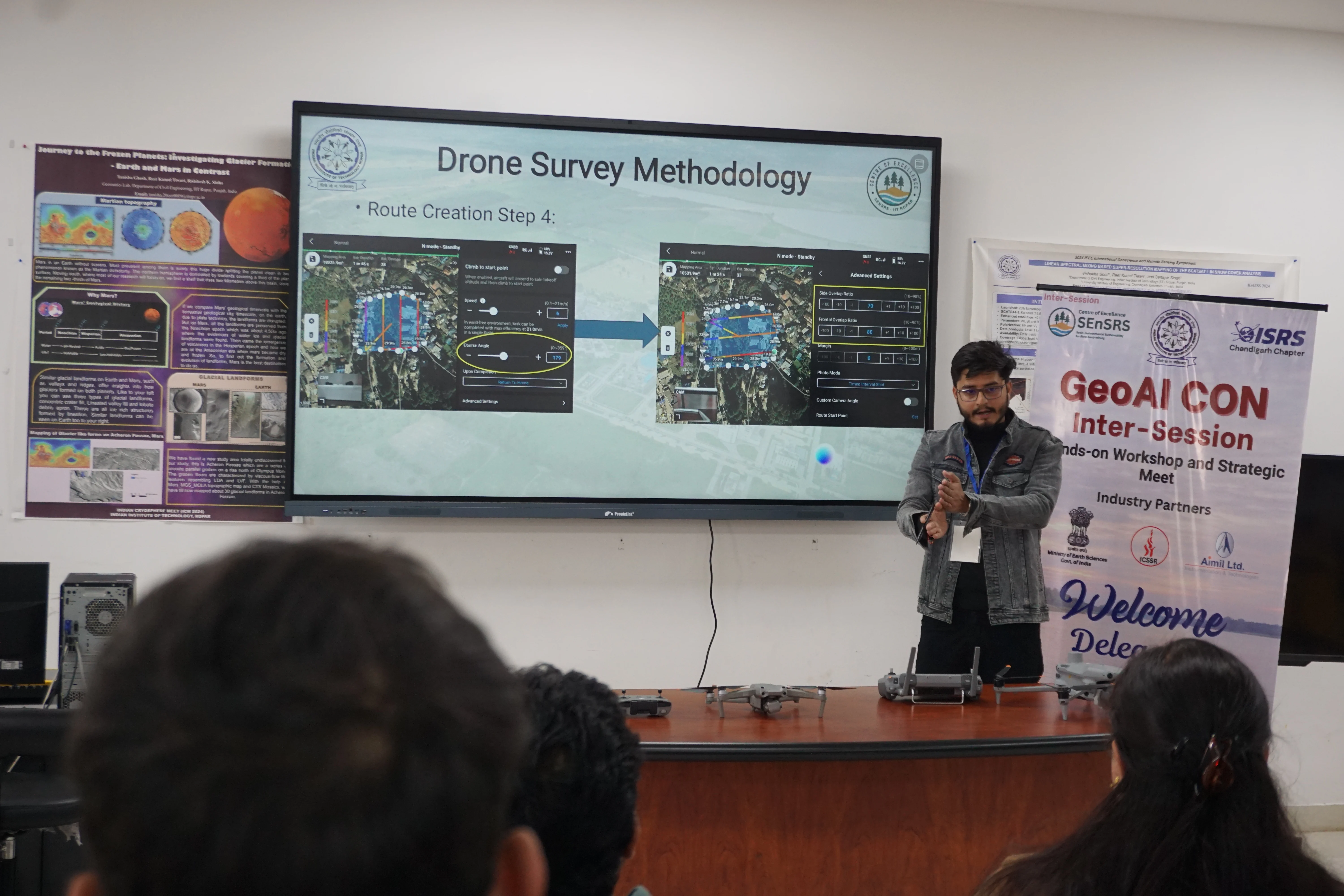
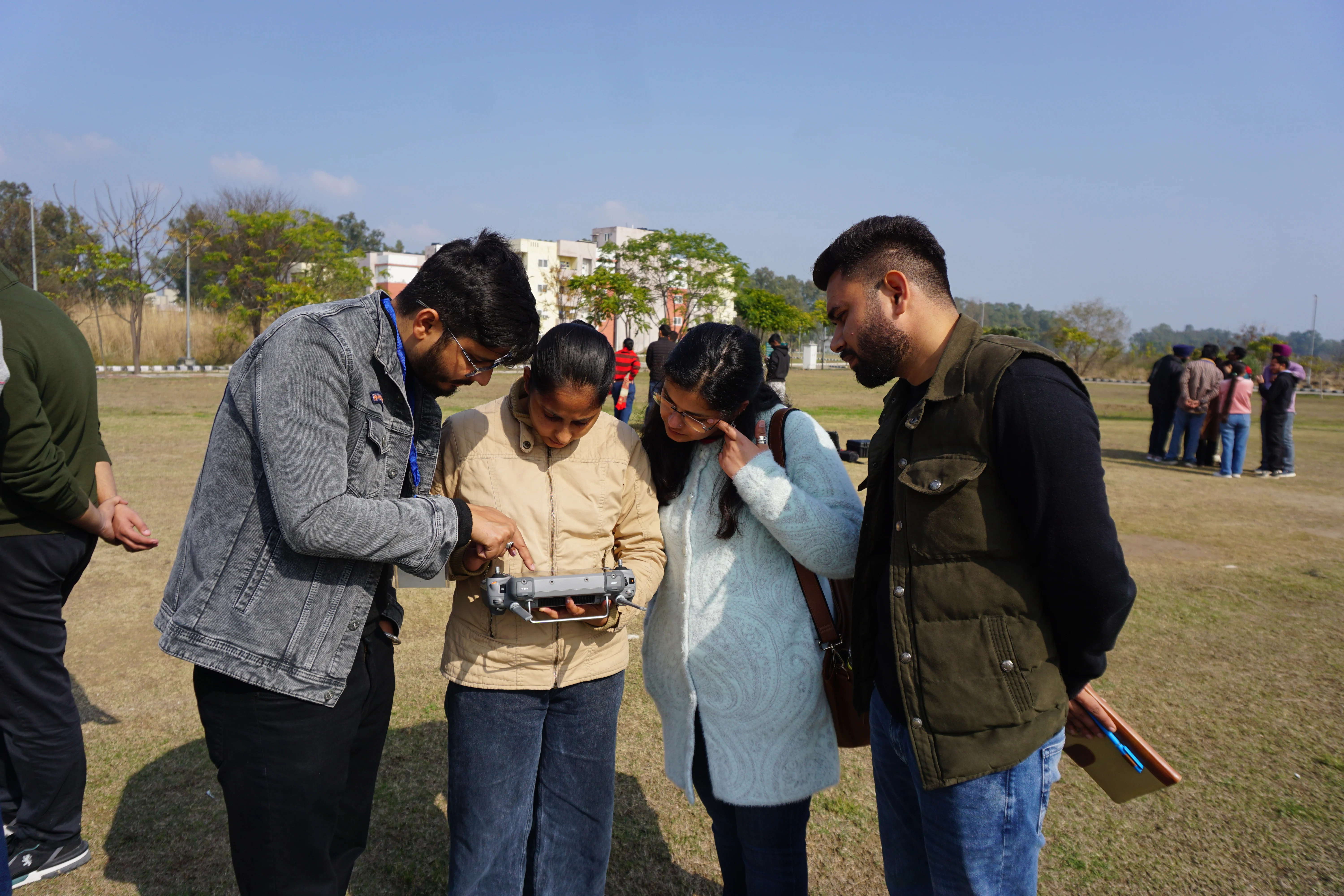
Drone flight planning & mission briefing
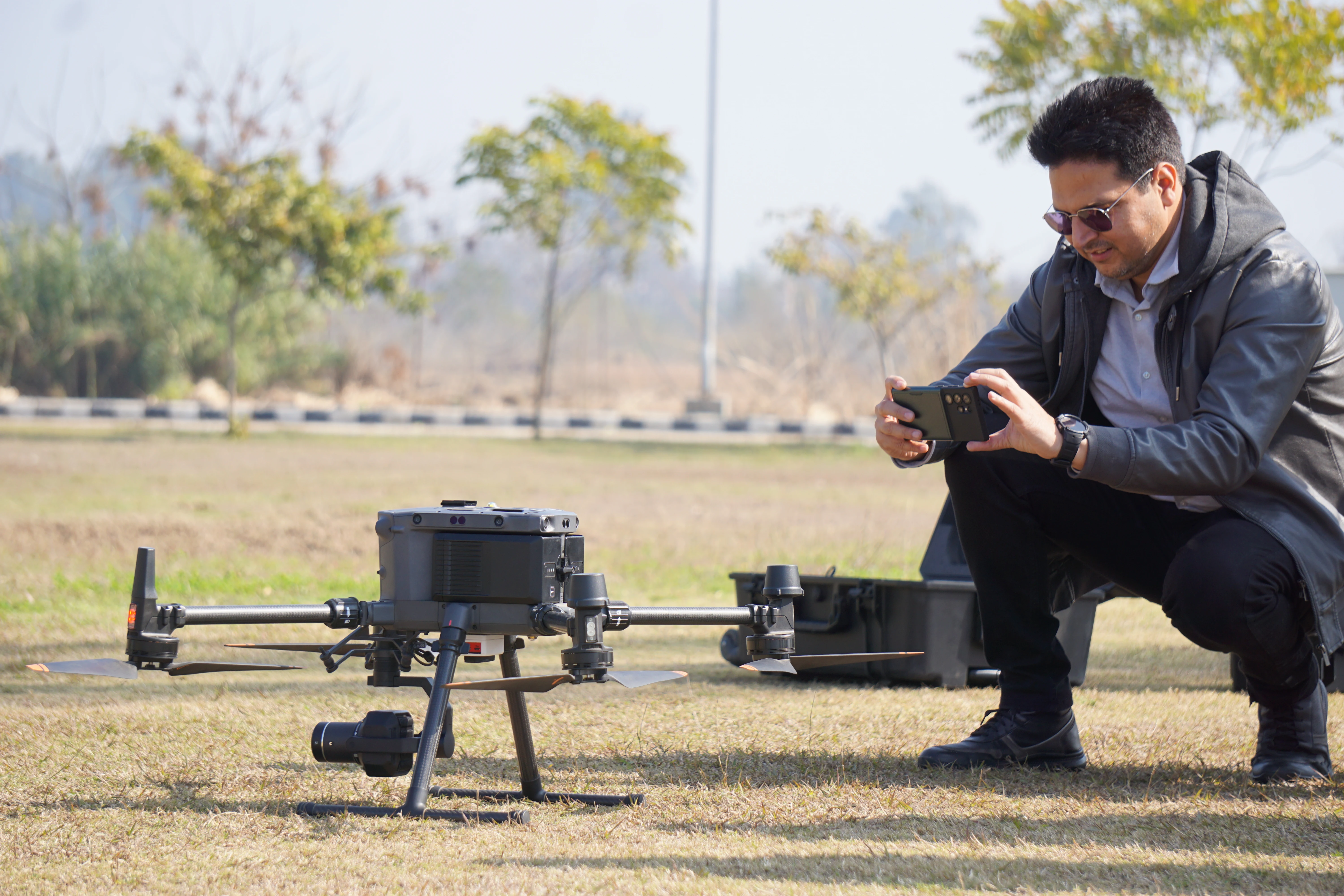
UAV assembly and pre-flight checks
Live drone mapping demonstration
Aerial data collection in progress
Orthophoto processing workshop
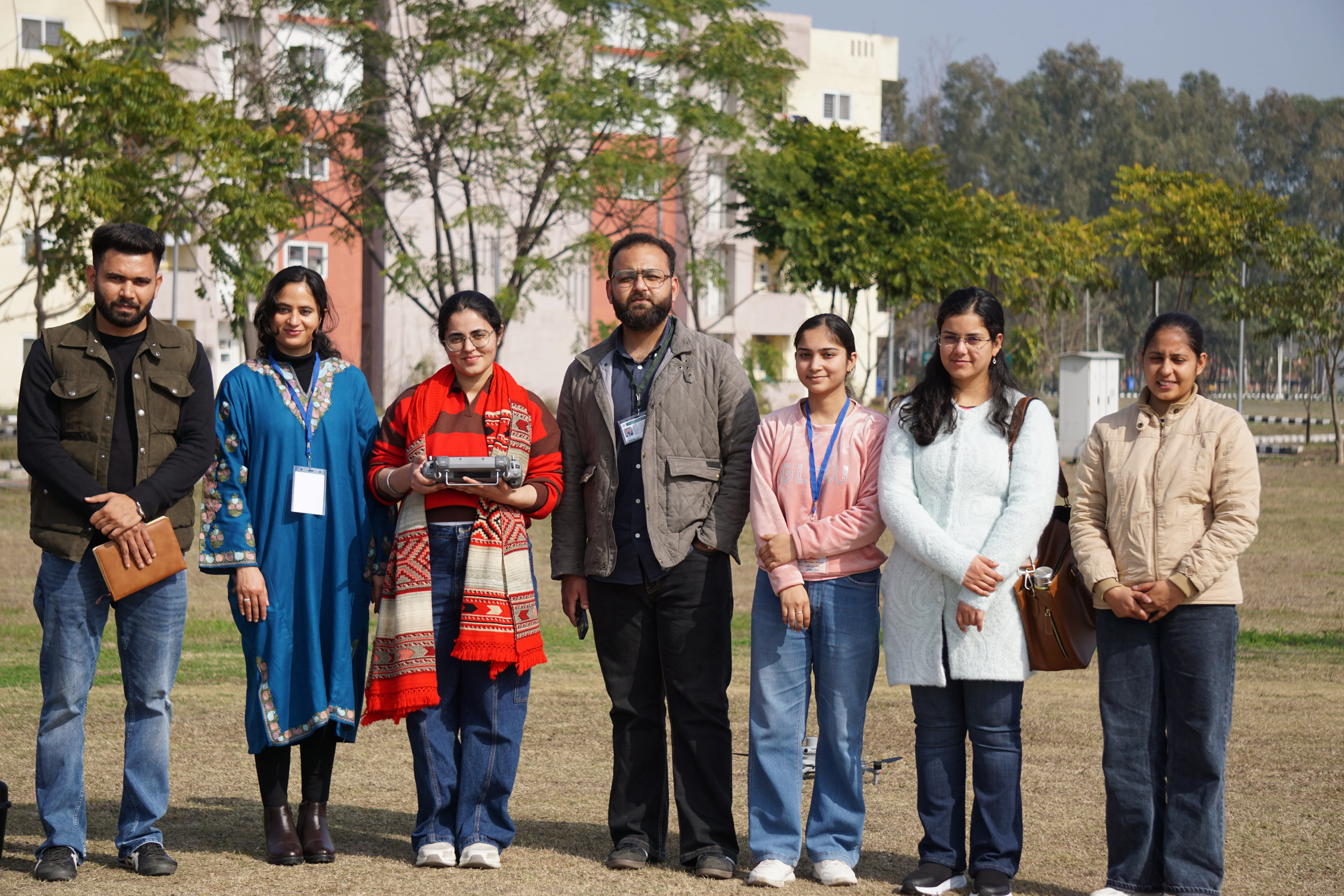
Students practicing drone operations
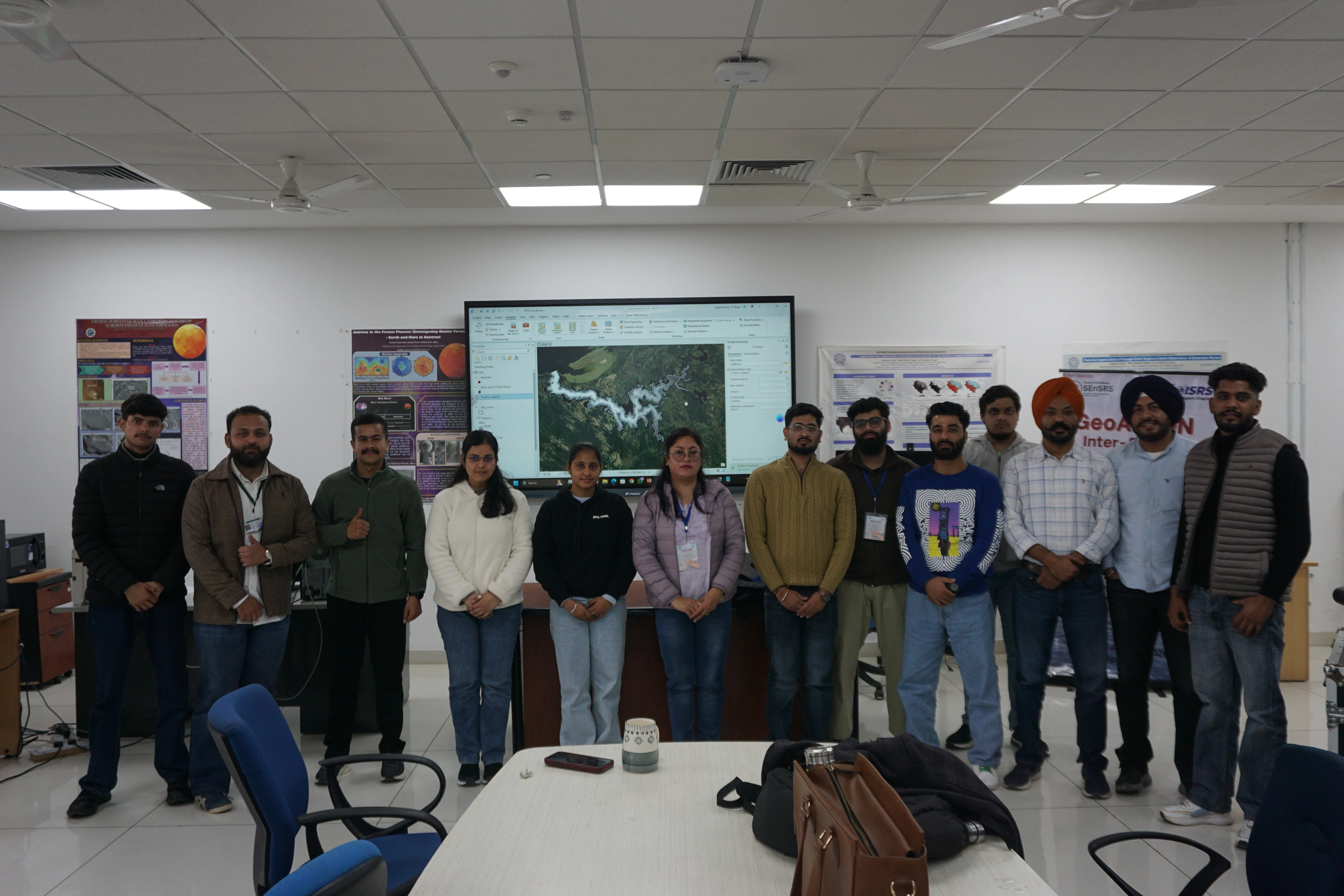
Exploring advanced remote sensing using multispectral imagery, Terrestrial Laser Scanning, and hyperspectral drones.
Multispectral sensor calibration
TLS instrument setup & scanning
Hyperspectral image acquisition
Point cloud data visualization
Field measurement session
Collaborative data analysis
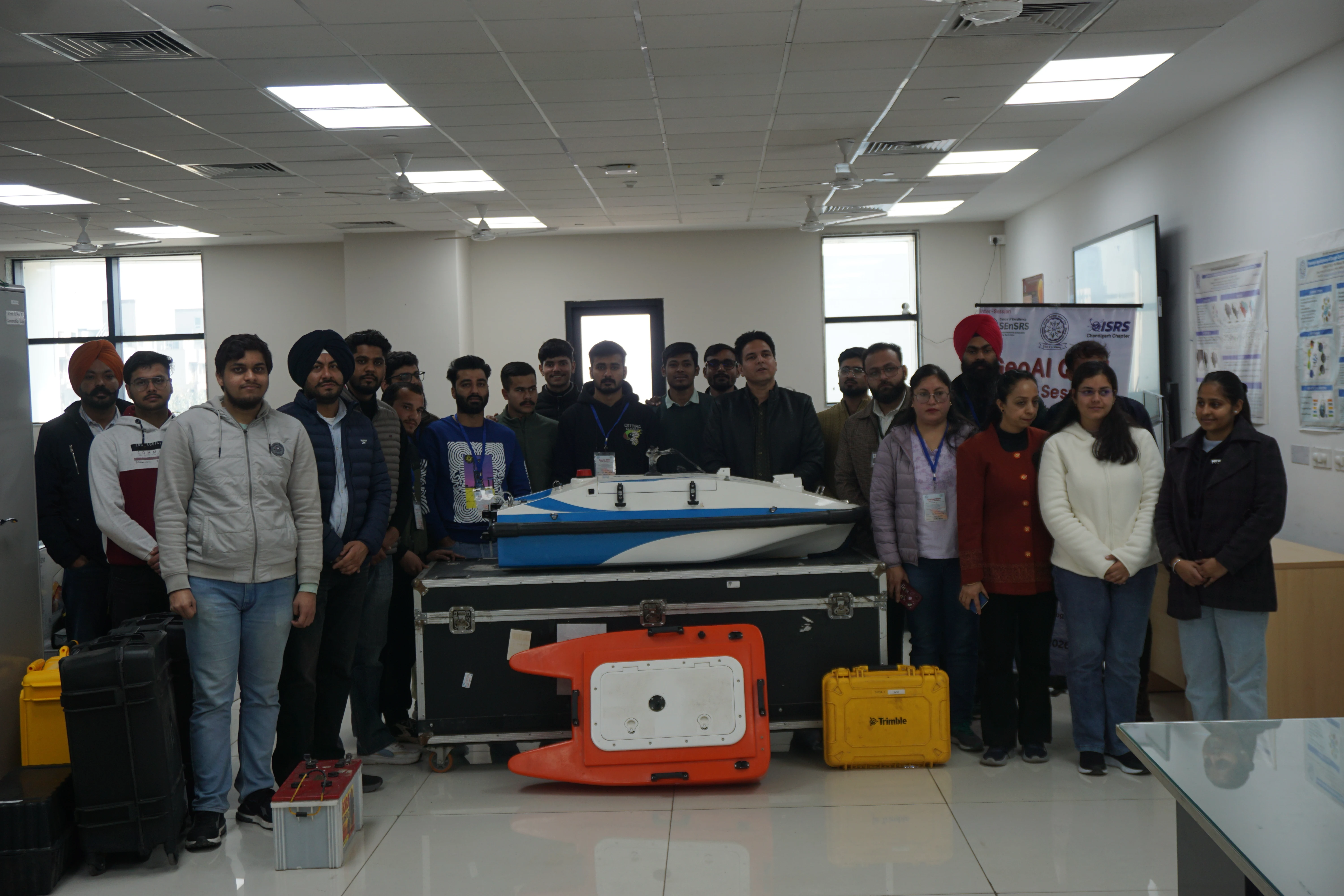
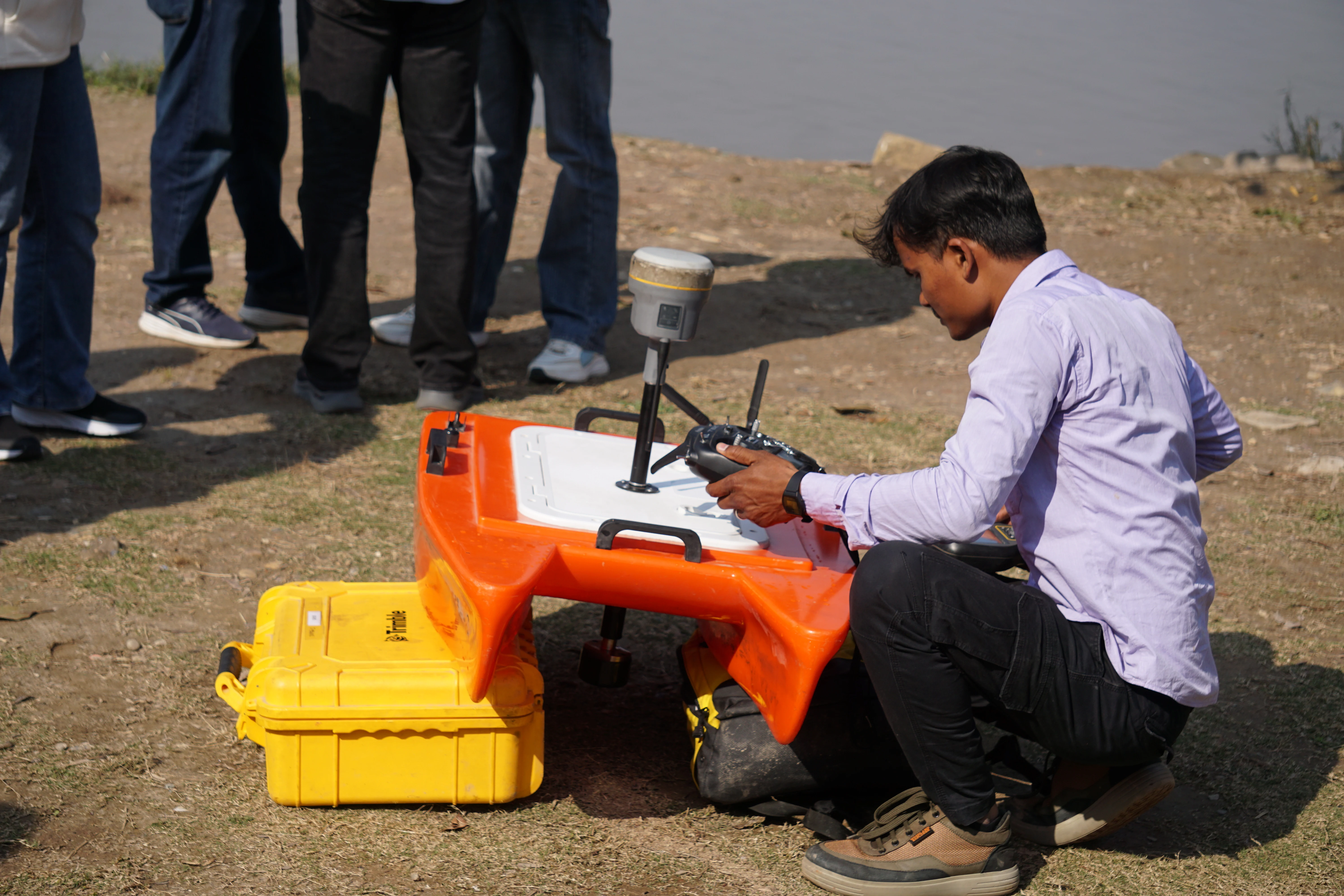
Hands-on tutorial on underwater terrain mapping using single/multi-beam sonar for water body depth analysis.
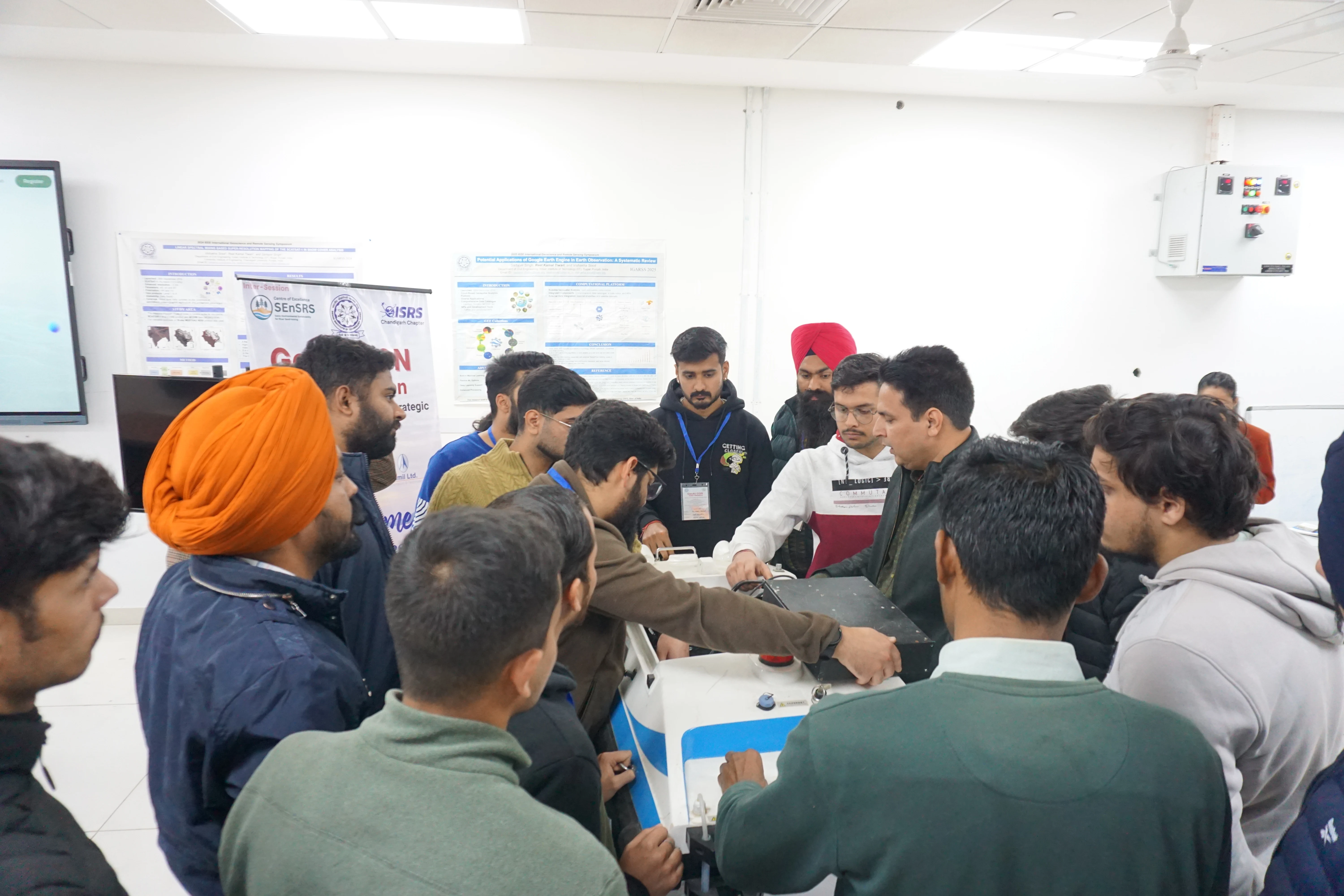
Bathymetric equipment demonstration
Sonar transducer deployment
Depth data collection on water
Bathymetric map interpretation
Live survey processing workshop
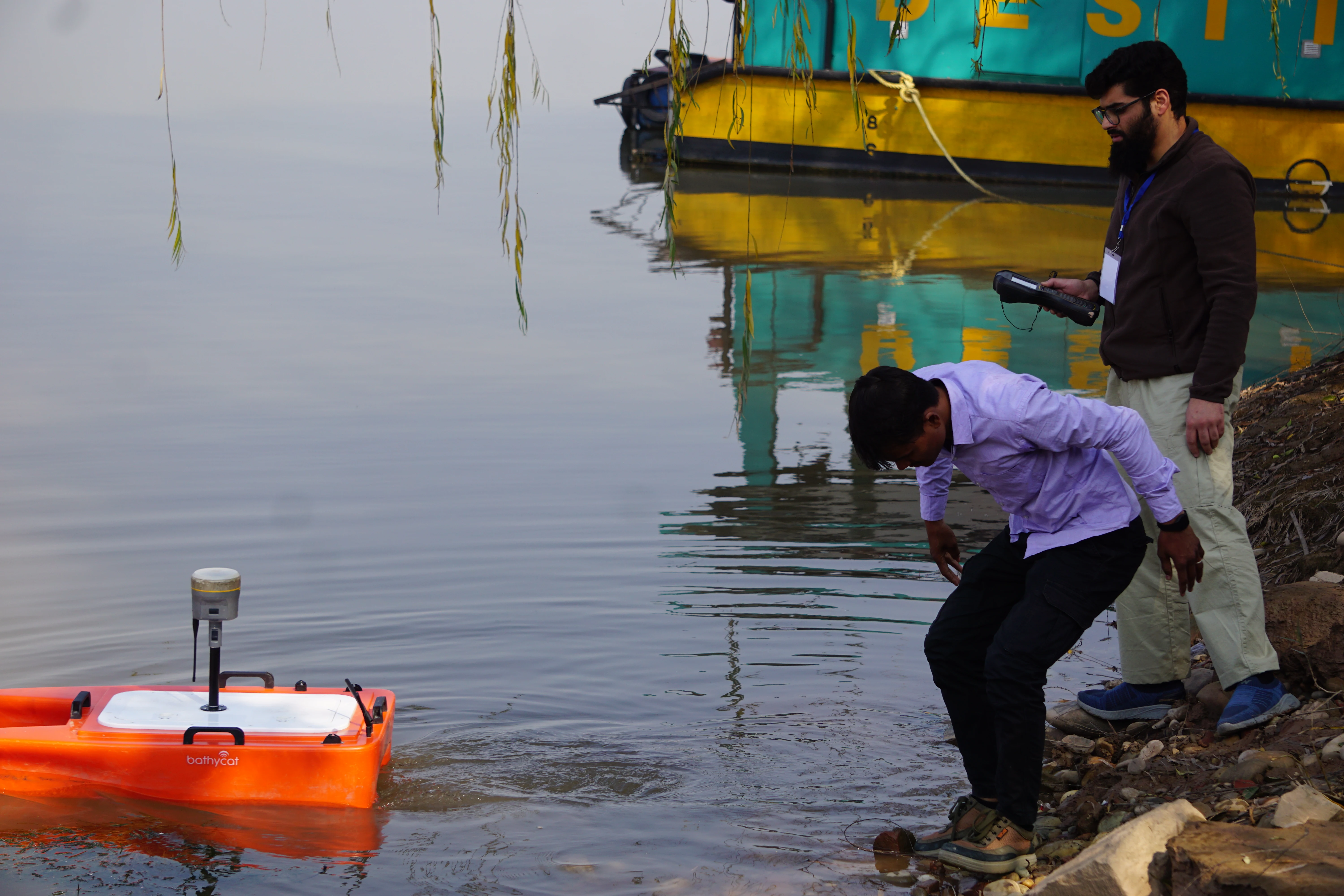
Team fieldwork near water body
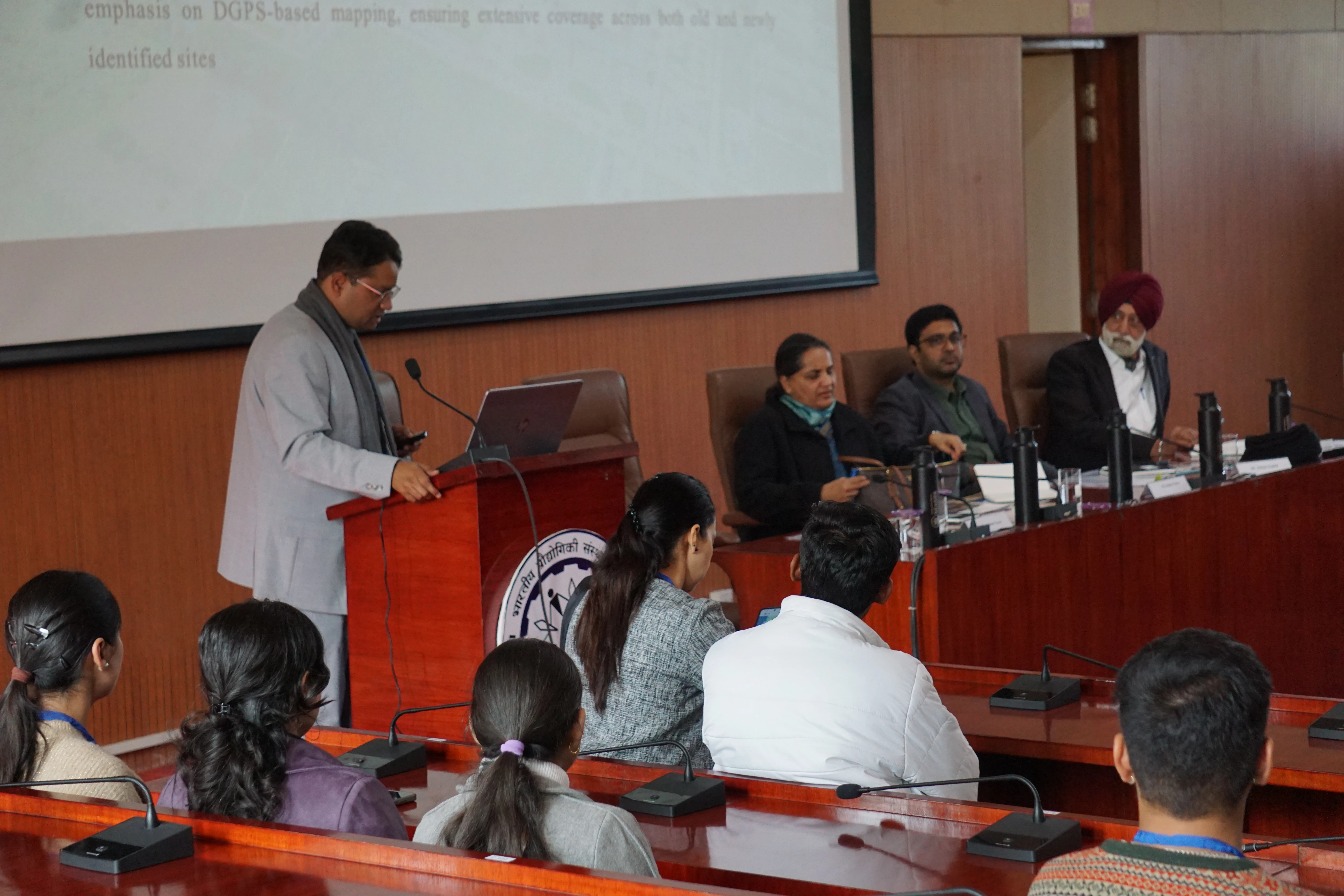
International Conference on Geospatial Artificial Intelligence. A platform for innovators and professionals to solve global sustainability challenges.
© Copyright 2026 - GeoAI CON. All Rights Reserved